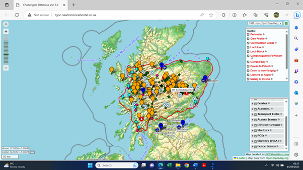
Mick Blackburn has created an interactive map for Challengers which includes the Challenge boundaries, Start Points, ferries, MBA bothies and areas where we ask restrictions on wild camps are observed (see Access page).
Click on the screenshot below to go to the map.


